Winter 25/26 is rainiest and warmest in Catalonia in last 30 years
Season defined by strong gusts, cold drops, and Atlantic fronts
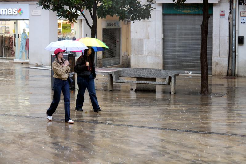

Catalonia experienced an exceptionally rainy winter of 2025/26, a season that was also characterized by warmer temperatures than average.
Precipitation exceeded that of the rainy winter of 2019/20, which included historic episodes such as Storm Gloria, while we have to check back as far as 1995/96 in the record books to find a season as wet in Catalonia.
The head of climatology of the Meteorological Service of Catalonia (Meteocat), Marc Prohom, points out that this winter was not characterized by any single extreme episode, but rather the persistence of rainy conditions throughout much of the season.
According to Prohom, the concentration of rising seas, cold drops, and Atlantic fronts has caused very prominent and widespread accumulations.
The Ebre Observatory, in southern Catalonia, saw the 3rd wettest winter in its 121 years of historical data, while the Fabra Observatory in Barcelona recorded its 5th wettest season in 113 years.
Top of the list for rainfall points across the territory are the 657mm that fell in the southern Ports Natural Park, in the Baix Ebre, the 591mm in the Pantà de Darnius-Boadella, in Alt Empordà, and the 583mm in Puig Sesolles, just north of Barcelona.
In addition to rain, Catalonia has also seen a very snowy winter, especially in the eastern Pyrenees.
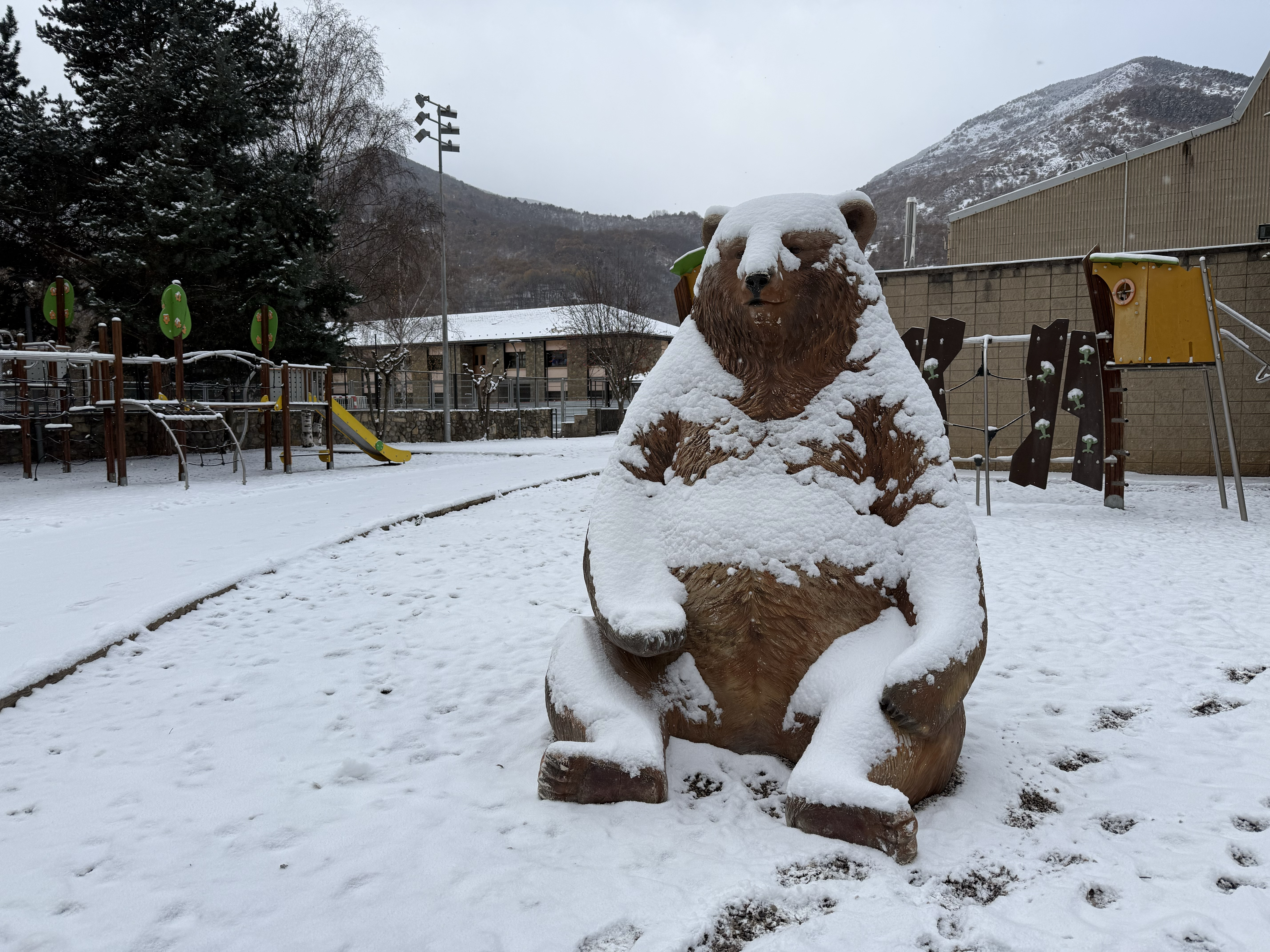
The Núria weather station saw 144cm of accumulated snow, a new record in its 26 years of data, exceeding the 142cm seen in January 2006.
Warm winter
In terms of temperature, a normal winter was only seen in areas of the Pyrenees, Pre-Pyrenees, and high altitudes. Elsewhere, it has been a warm season.
This mainly comes from exceptionally high night temperatures, which have been above average for much of the season, with a few occasional interruptions at the beginning of winter and during Christmas.
February saw the warmest night temperatures, with several episodes favored by successive episodes of wind.
On February 11 and 12, records for the highest minimum temperature were broken in 13 stations.
Subsequently, on February 24 and 25, new record highs were seen in several points, reaching 26.4°C in Benissanet.
The Ebre Observatory, with 120 years of data recorded, saw the 5th warmest winter in its history.
Noteworthy weather episodes
December saw several cold drops that left rains of more than 200mm in the northeastern and southernmost parts of the territory, especially between December 25 and 29.
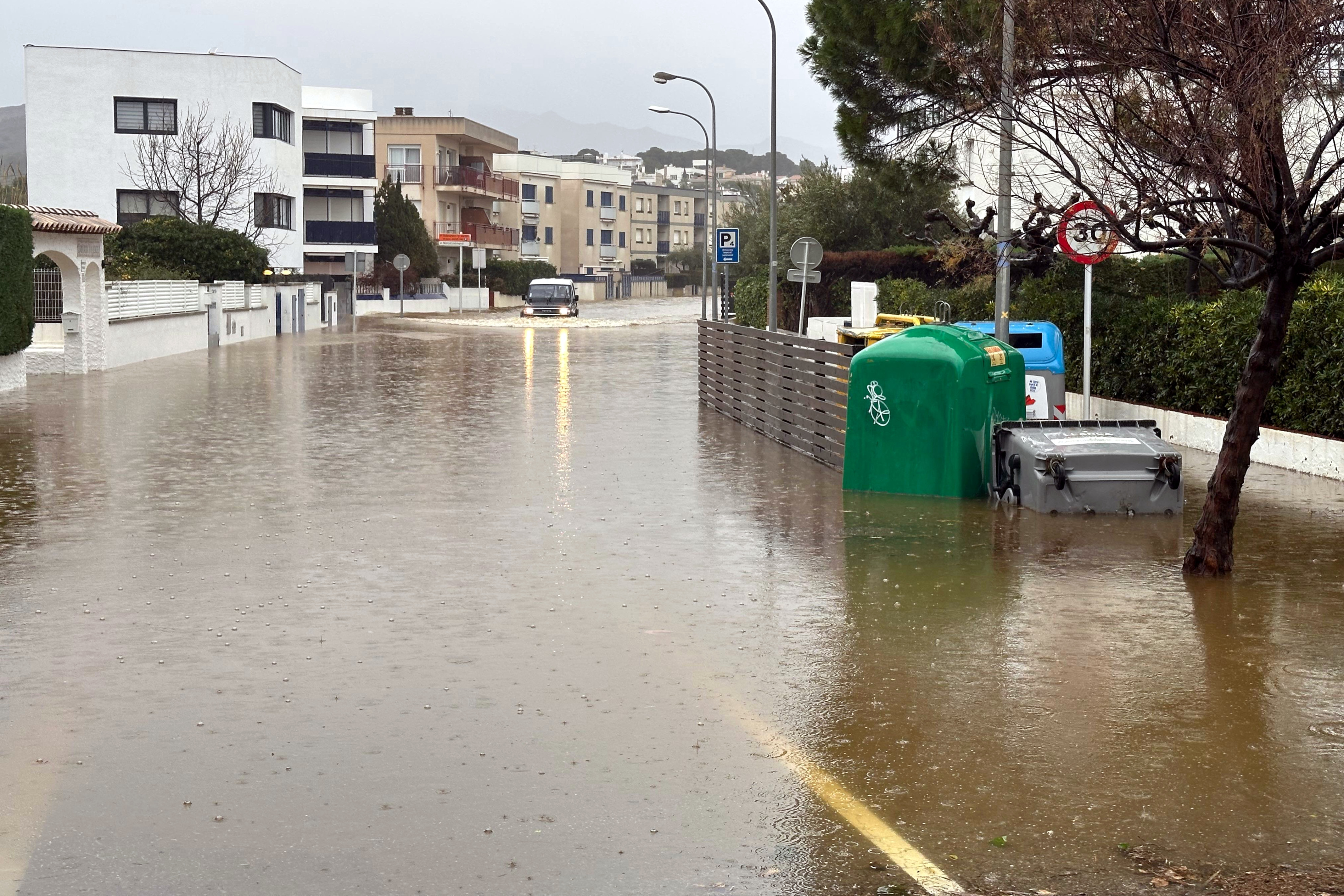
In January, cold fronts saw several repeated episodes of rain and snow. Between January 16-20, more than 200mm of rain fell on the Costa Brava, while snow depths exceeded half a meter at high altitudes in the Pyrenees. At the end of the month, snow even hit lower altitudes, in some cases below 500 meters.
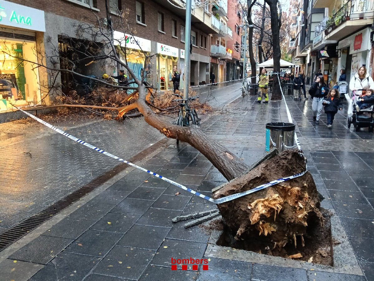
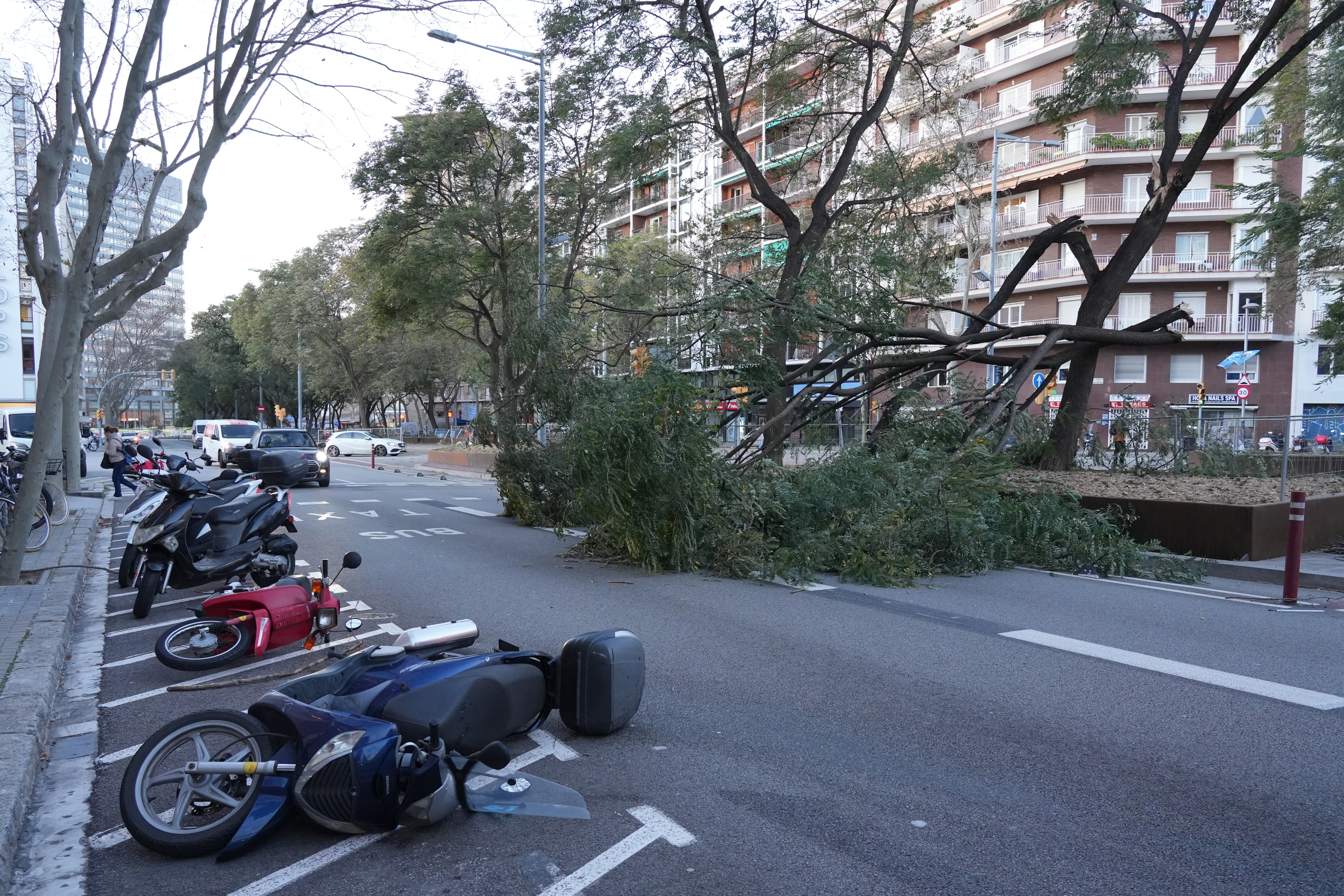
February was particularly notable for episodes of intense wind, with gusts exceeding 100 km/h on the coast and areas just inland from the coast, while gusts exceeded 150 km/h in high areas.