Scanning the seas to make 3D models of sunken ships
Thalassa project documents underwater heritage with an informative and scientific spirit
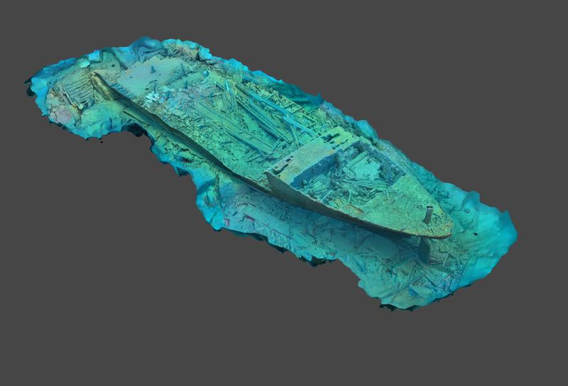

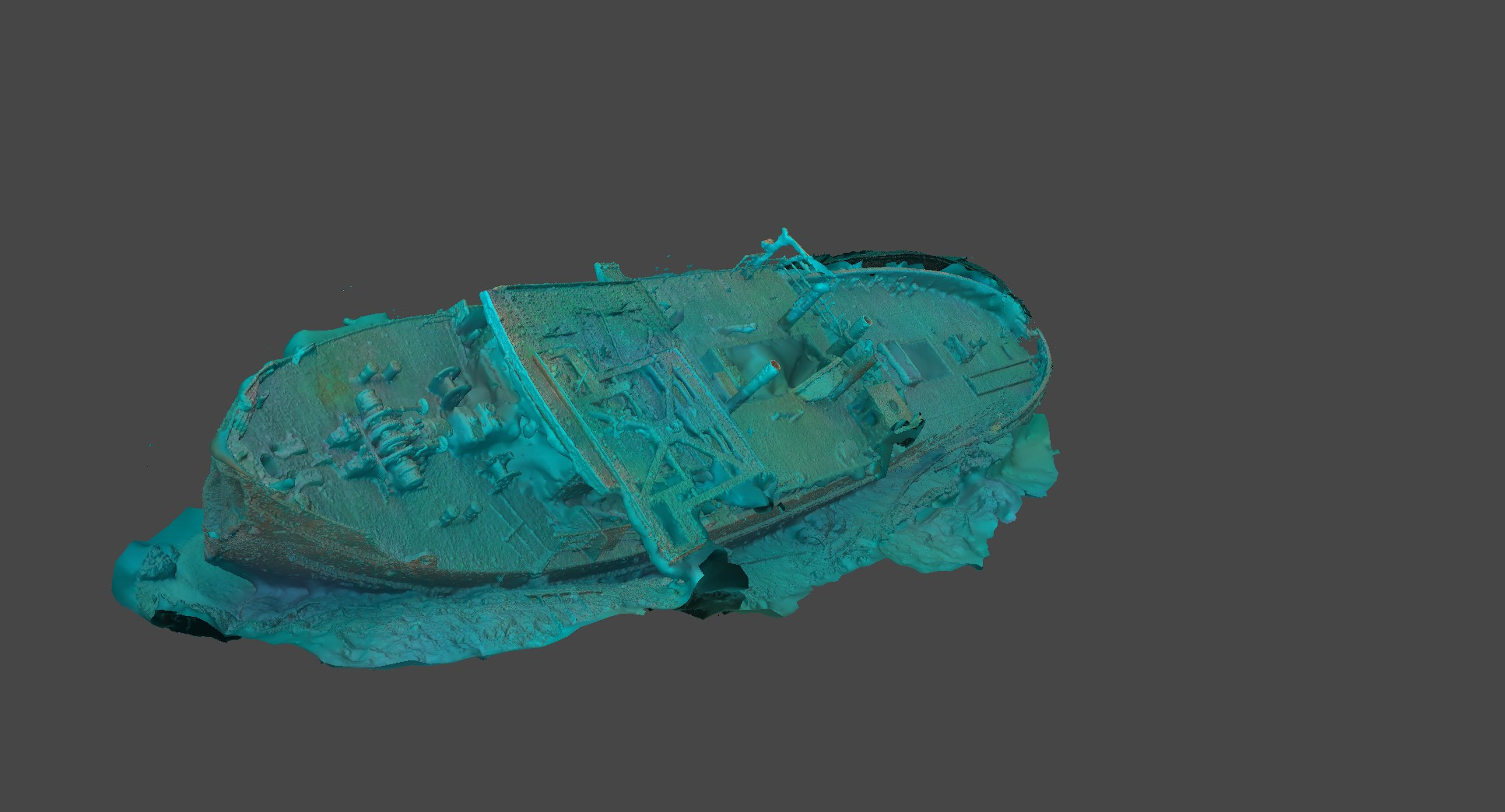
For the past year, a group of divers have been undertaking undersea voyages to scan sunken ships and create 3D models of them.
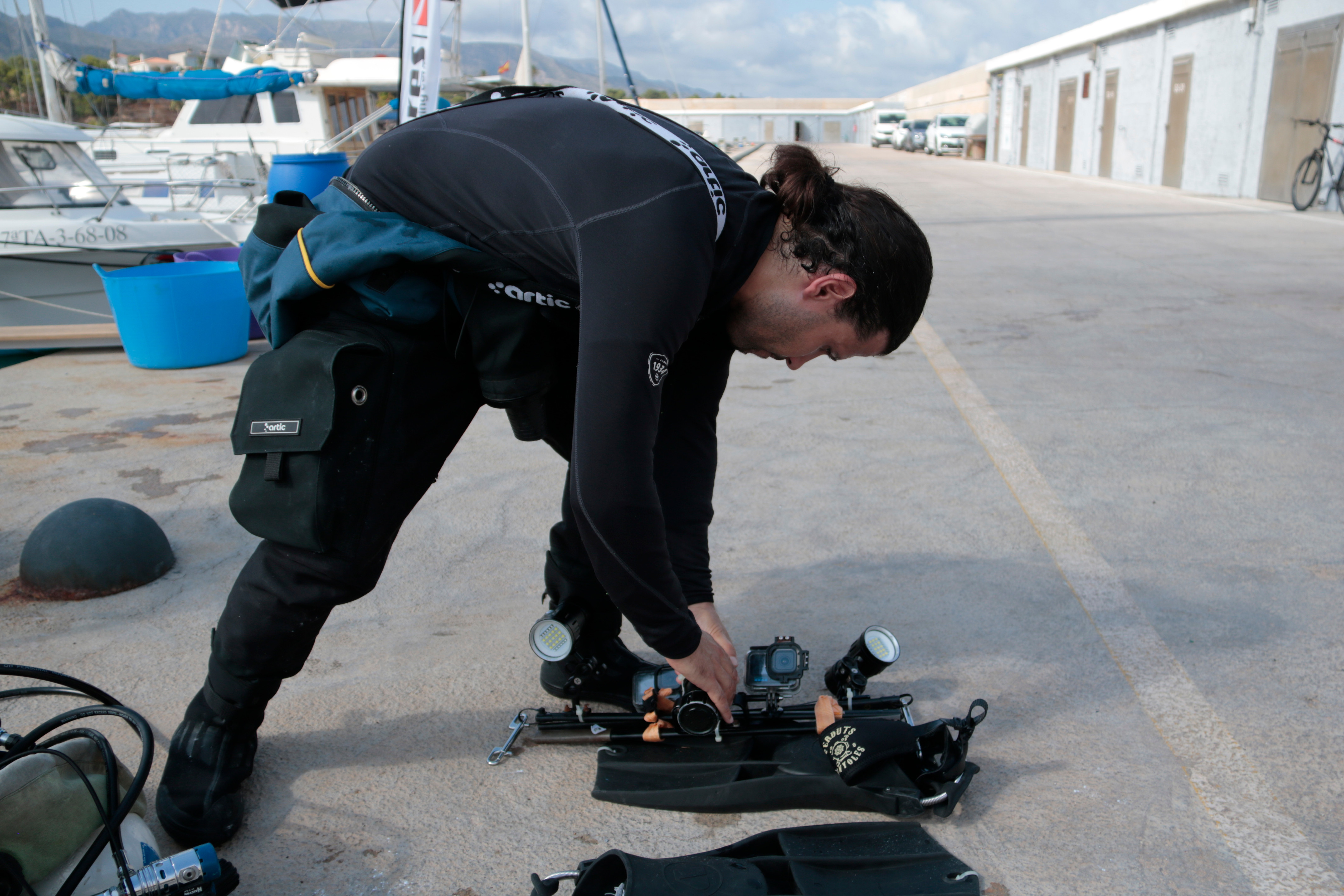
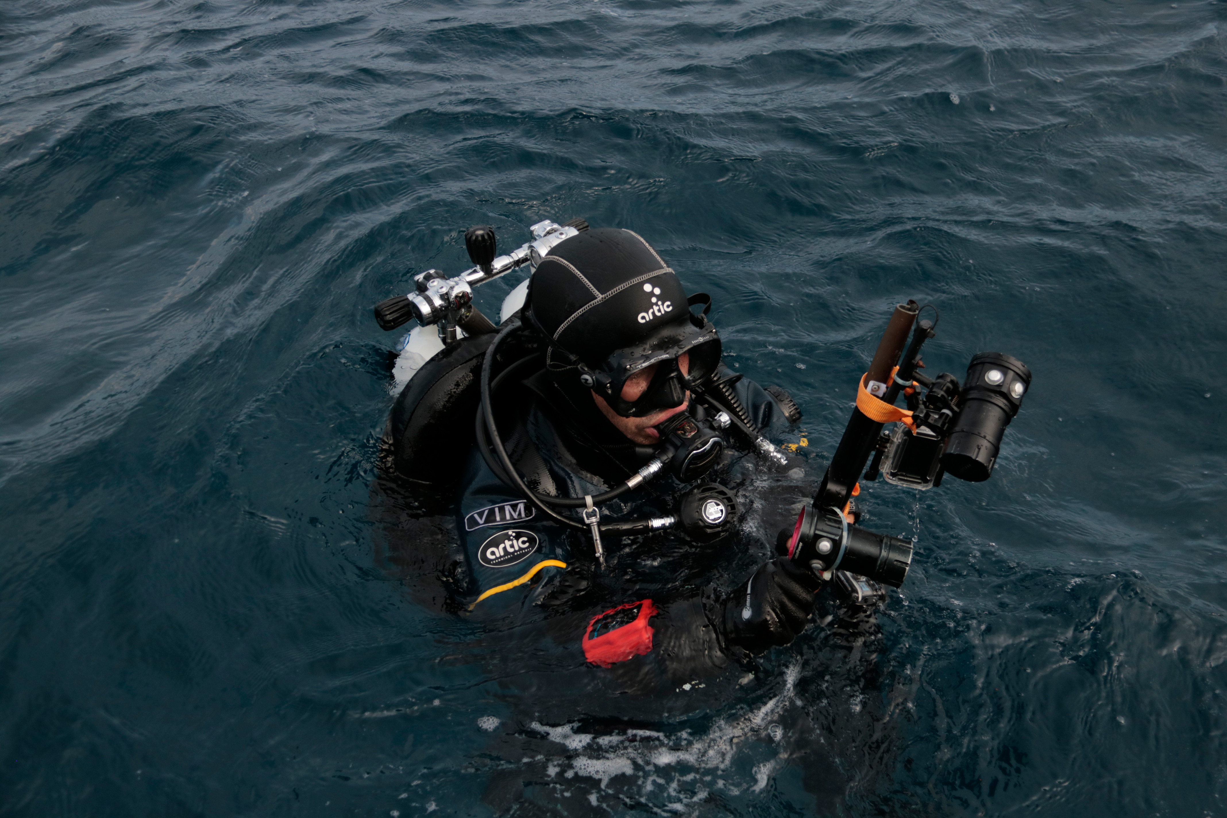
The Thalassa project documents underwater heritage with conventional recording equipment based on action cameras that allows them to scan sunken wrecks at a depth of about 40 meters.
The initiative is carried out in collaboration with different diving clubs in the country.
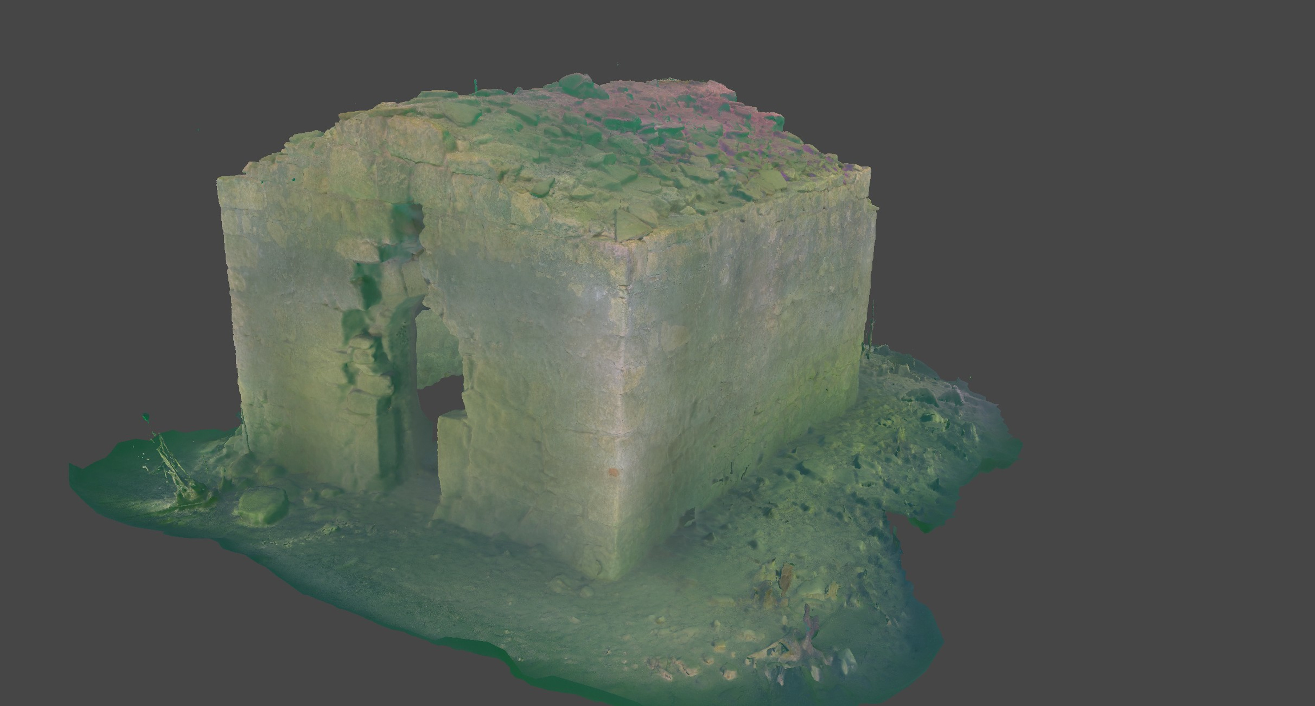
So far, the initiative has documented around twenty boats lying beneath the waves along the Catalan coast, mostly on the Tarragona coast, but also in Girona.
In the southern Ametlla de Mar, four boats have already been registered, including the most recent one undertaken by the project, the Pepito La Lula. This fishing boat sank at a depth of around 30m a quarter of a century ago.
The boat spans 26 metres long and is made of wood, and is therefore in a more degraded state of conservation compared to other metal wrecks.
Dive
Before diving, the Thalassa team prepares the technical details of the dive from land.
The research and prior documentation work is key to ensuring success, although other elements, such as weather, also condition the trips.
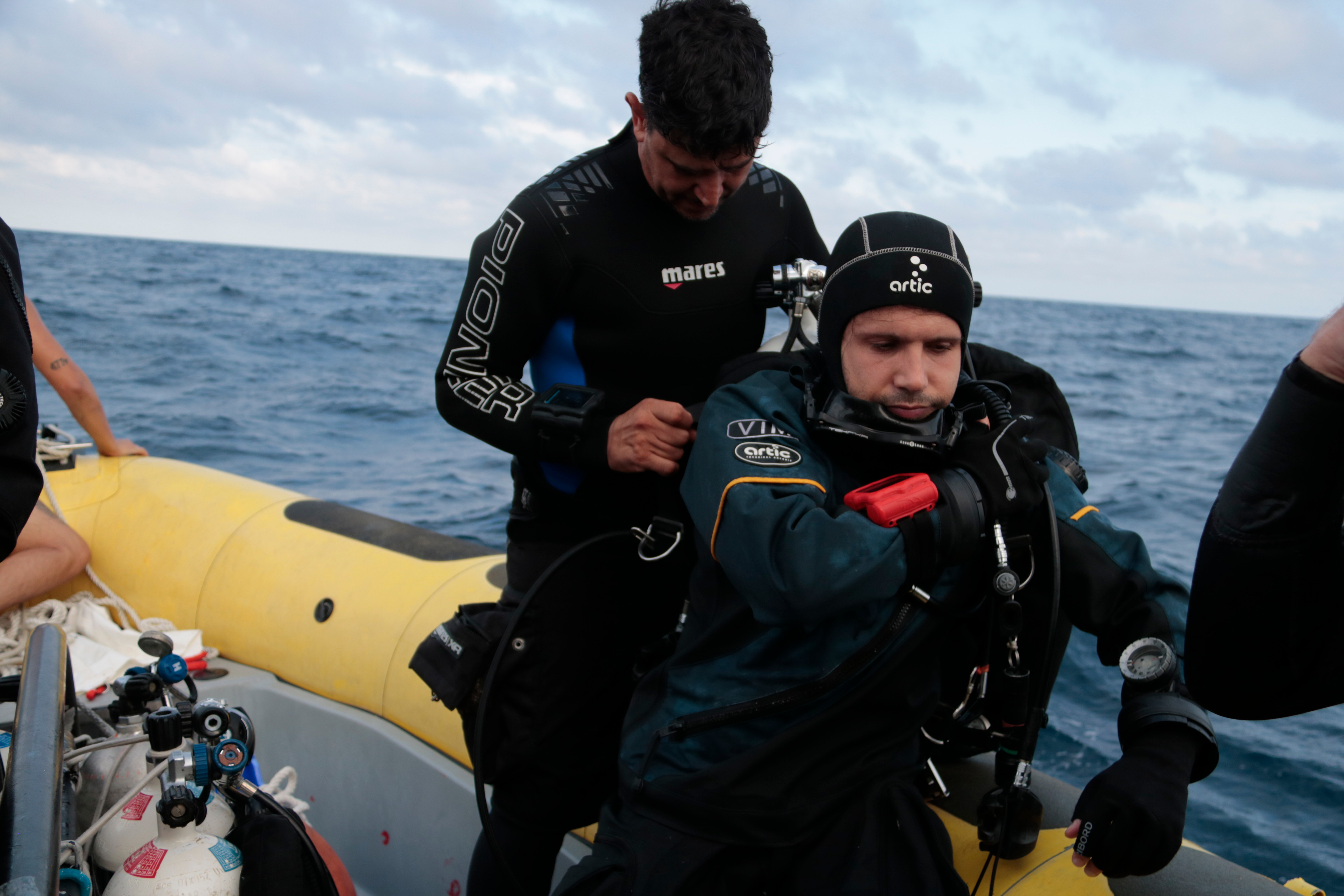
On this occasion, the state of the sea has allowed the six divers to go into the depths of the ship graveyard of La Cala to make a photogrammetric recording of this wreck.
The researchers are working with Dive Center La Frau for this dive, who facilitated logistics to make the job viable.
In just over an hour, the wreck is registered and the members of the expedition return home.
Later, the work of the Thalassa project shifts to digitizing the finds, updating the contemporary submerged heritage, as well as to create three-dimensional models of each boat.
This data is made available to the community free of charge for use in different areas.
Beyond facilitating the planning of dives by diving clubs, this project aims to monitor the state of conservation of the wrecks, as well as documenting and preserving underwater heritage.
Economic challenge
When producing the graphics of each vessel, the Thalassa team uses conventional audiovisual equipment, from which they have developed a scanning system in accordance with the work done by other international teams.
"We have perfected it with the type of wreck that we have found on the Mediterranean coast, so that now we have a success rate of between 80-90% of all the images that we capture to be rendered," he said.
The divers hope to obtain financial support to cover the costs derived from each dive, mainly those linked to gases for air cylinders, which have risen in price to thousands of euros in recent years due to the geopolitical situations in Ukraine and Iran.
Those from the project team explain that underwater propulsion elements would also greatly facilitate their documentation work, making scans faster and safer.
Cavour ship ambition
Albert Vim, director of the Thalassa project, says the Cavour would by "the cherry on top of all our work," if they managed to document the boat.
"You could say it would be the end of the first stage of this project, to get the model of the Cavour," he said.
It is one of the most famous and dived wrecks in the Ametlla de Mar area. Located at a depth of 52 meters, with a length of 120 meters, its history is closely linked to the First World War, sunk in 1917 due to a collision with an auxiliary ship.
In order to consider scanning it, however, the Thalassa project insists on the importance of finding a partner with whom to carry out the survey.
Vim points out that they are in contact with different entities over the project, such as the Underwater Archaeology Center.
At the same time, they continue to look for other sources of public or private funding that will allow them to achieve their objectives.